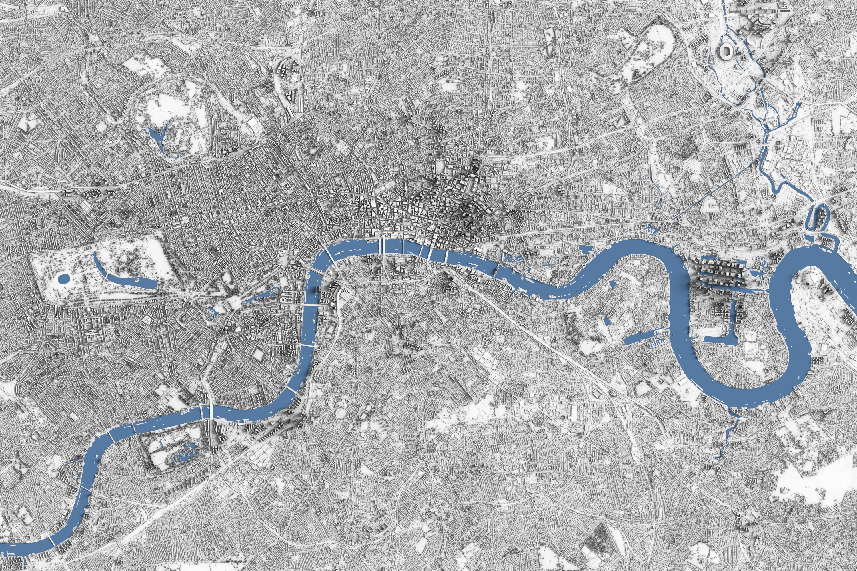
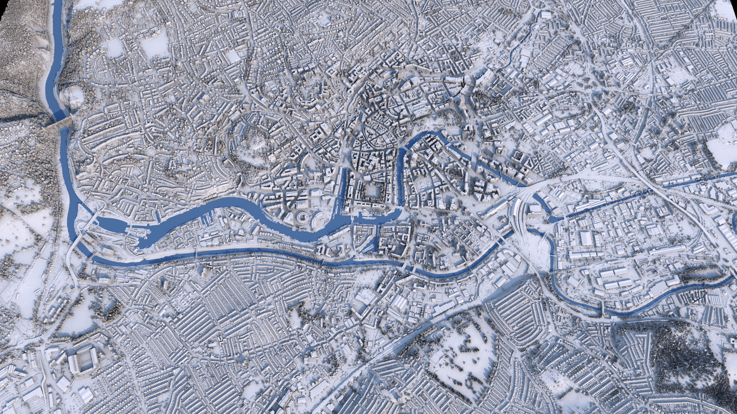
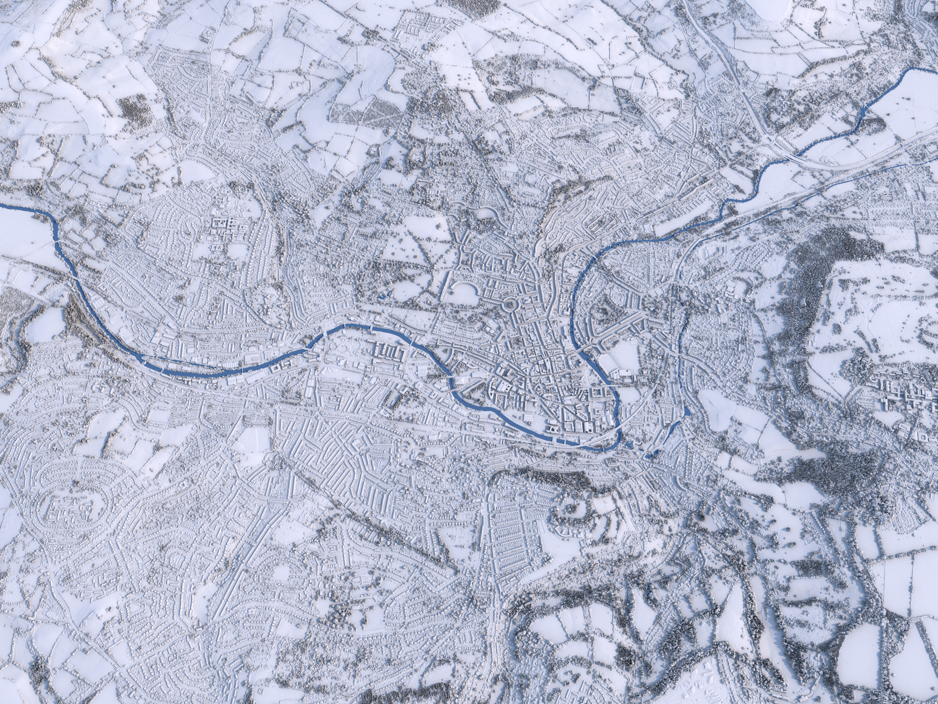
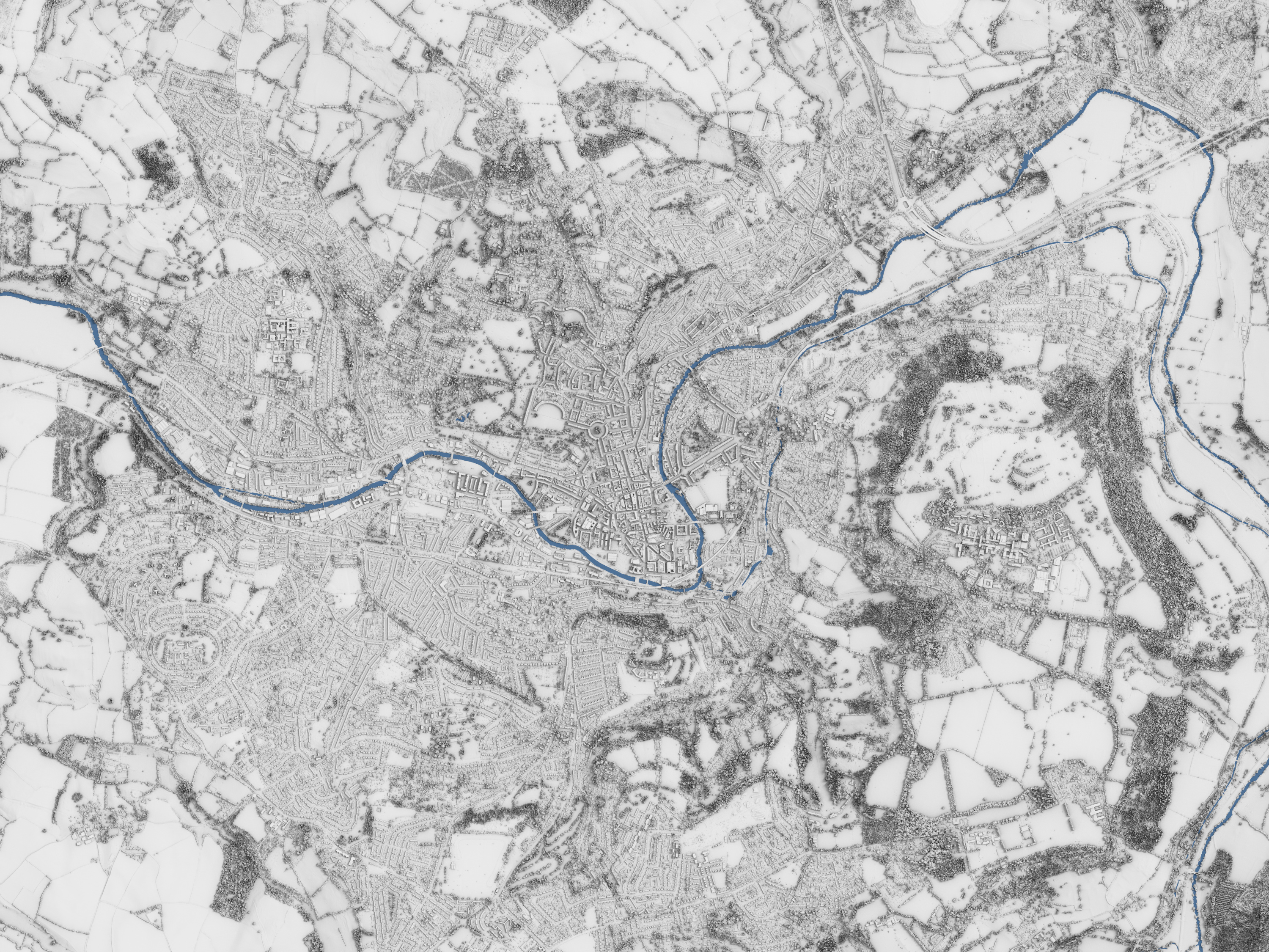
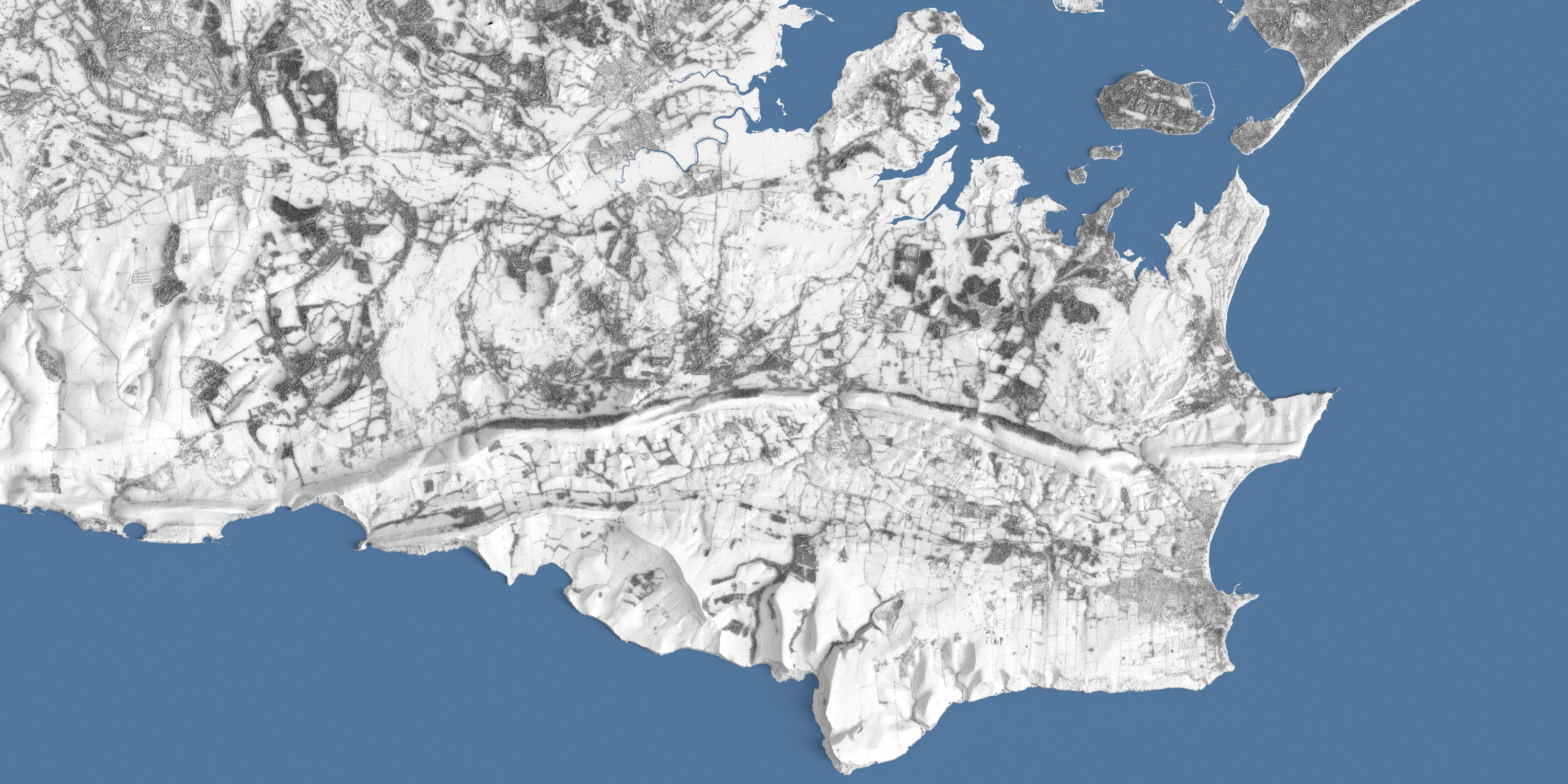
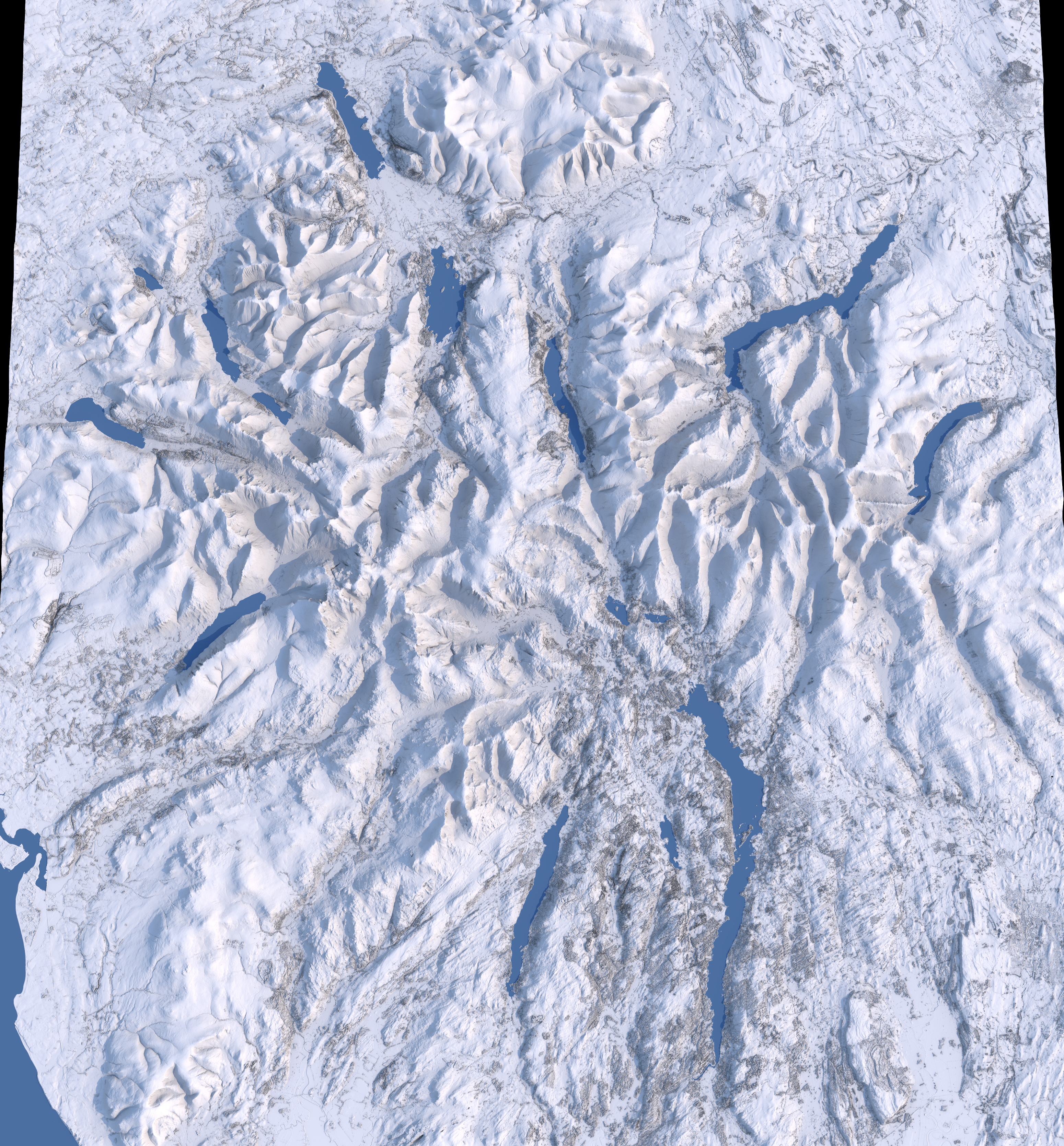
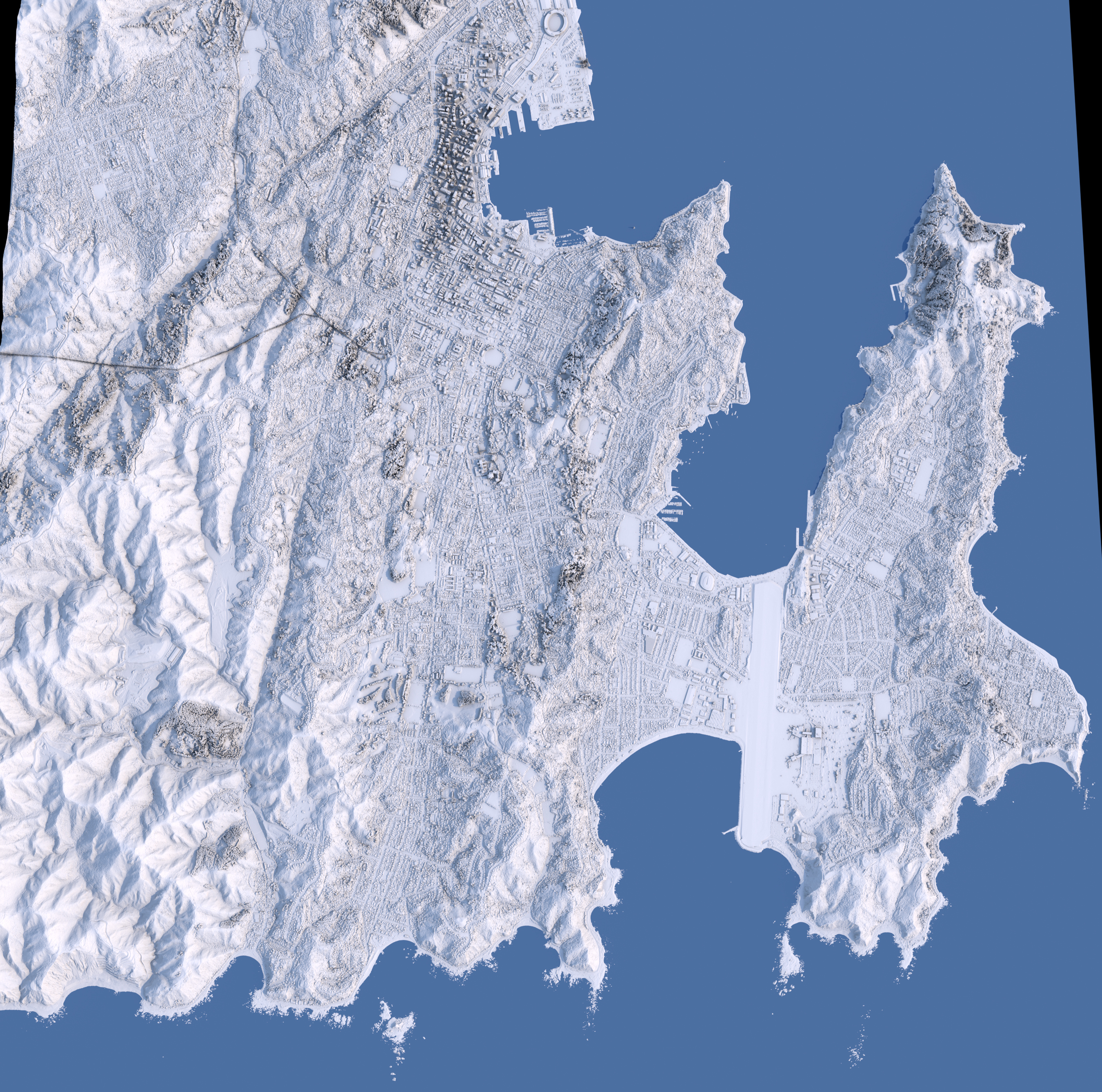
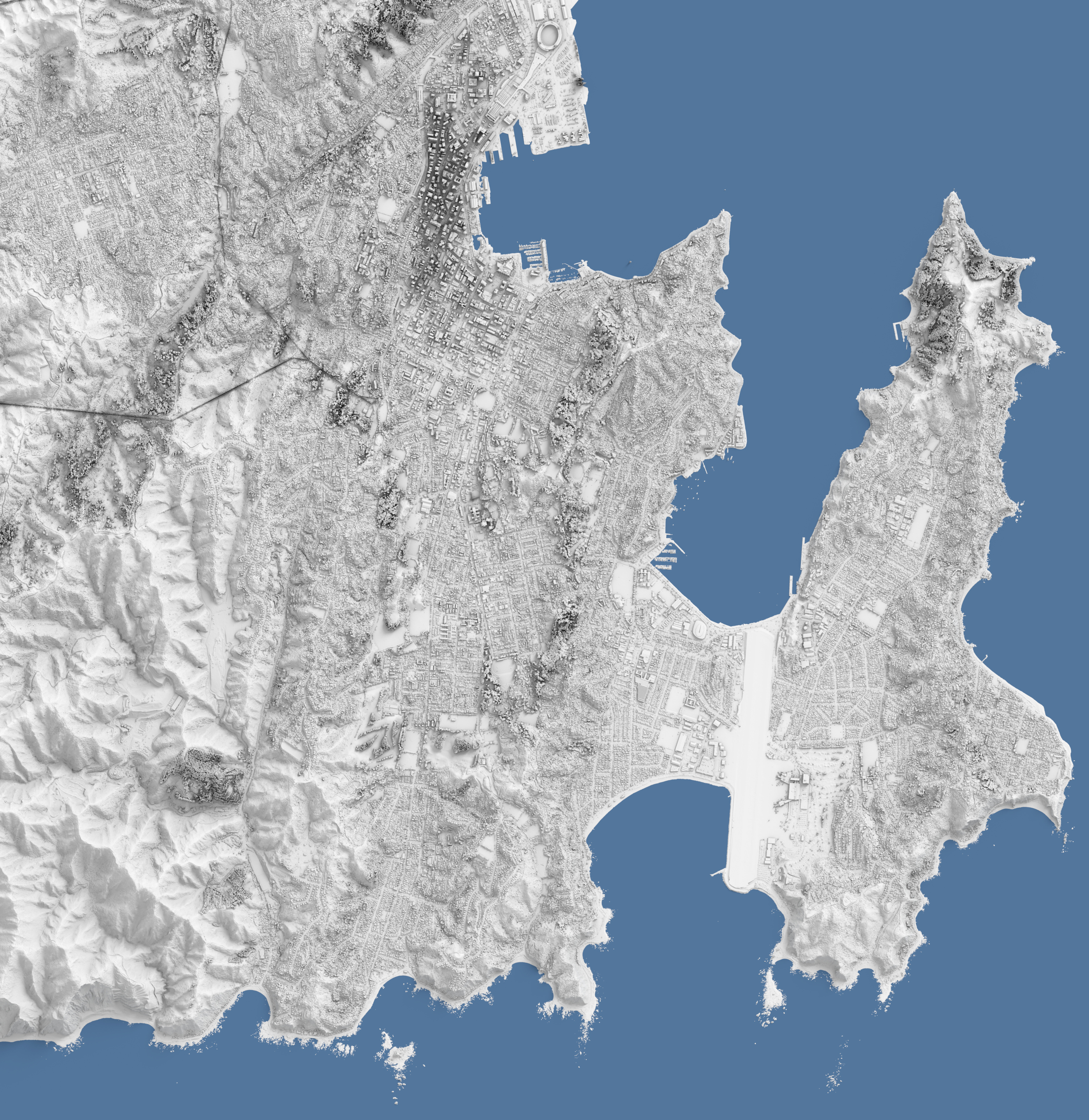
Central London - Perspective
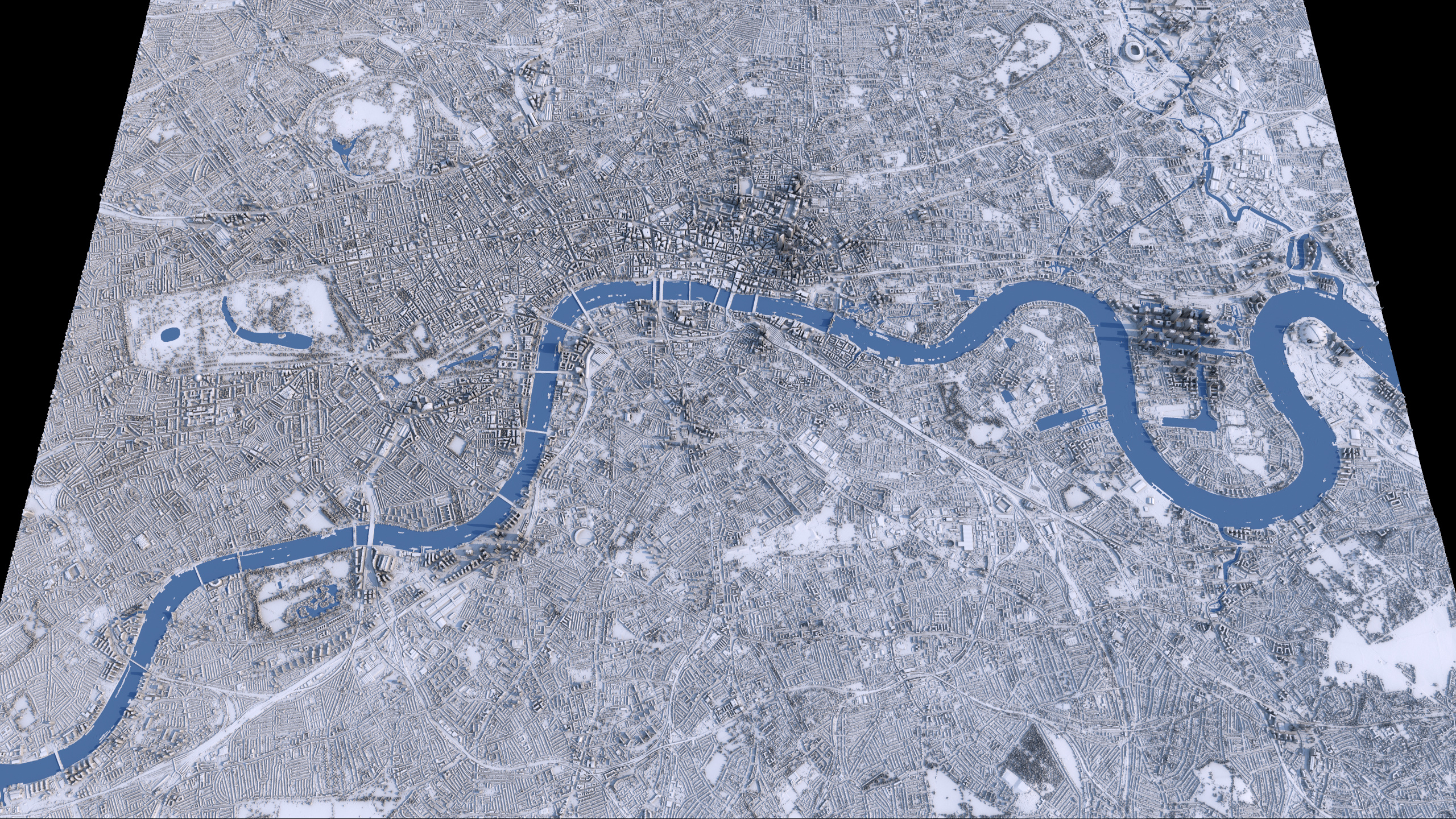
A rendering of the central London region in the UK.
Digital Surface Model elevation data from the UK Environment Agency's National LIDAR Programme's LIDAR Composite DSM 2022 - 1m dataset was used to displace the surface into a topological/structure terrain representation.
Source DSM Data (c) Environment Agency copyright and/or database right 2022.