Displaced Height Historical Map Renders
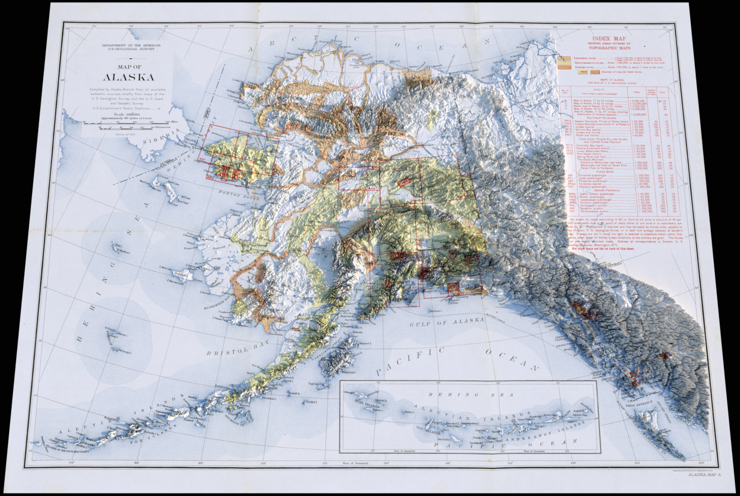
In a repeat of being inspired to attempt my own version of some nice-looking “artistic” maps that I noticed online last year with population density maps which I attempted to copy (fairly successfully), I recently noticed some historical maps that had been rendered with an exaggerated displaced height to the surface, giving the impression of terrain when combined with lighting and shadowing from a renderer.
So again, I was keen to try and create my own copies of these, and to see how difficult it was.
I discovered the existence of the David Rumsey Map Collection which has a very large collection of digital scans of historical maps of locations around the world, which is very interesting to browse through, and provided a good starting point for the visual “historical” texture for the maps.
Many of them are in very good condition, but some of the more older and more interesting ones are (understandably) somewhat aged in appearance and have tape marks / rips in them to varying degrees. While it would have been possible to do some artistic fix-ups / colour-correction first, it wasn’t something I particularly wanted to get into for my initial attempts (I always like to get to the Rendering part as soon as possible!), so I just picked a few interesting looking historical maps which had minor ageing marks on.
Obtaining terrain heightfield DEM (Digital Elevation Model) data is relatively easy from several sources, and I decided on using GMTED2010 data in the end.
The tricky part was fitting the DEM terrain data to the historical map image, which - depending on the map and its source, likely has an unknown projection, a border around the edge, and as I found out could also have out-of-date or incorrect terrain for some maps which were more than 100 years old. I ended up having to grid-warp the DEM terrain image to fit the historical map which was going to be the visible texture, which is do-able, but a pretty time-consuming manual process in order to do a reasonable job.
With my initial renders using a perspective camera projection from single angles (normally the bottom), I was able to take a few short-cuts with alignment, but for full top-down orthographic camera projections in the future (which will look better), I’ll need to do a better job.
I then rendered them in Imagine, with the historical map image being used as the diffuse surface texture, and the warped DEM image being used as the displacement map.